Boundary Recording
SF-RTK level boundary recording for John Deere's hands-free planting, spraying, harvest, and tillage.
SF-RTK Level Boundary Recording
- Field boundary recording with SF-RTK level accuracy of 1"
- Utilized with John Deere's Operations Center
- Hands-free tillage, planting, spraying, and harvest of boundaries
- Allows for using John Deere's Turn Automation, AutoPath, and Autonomy features.
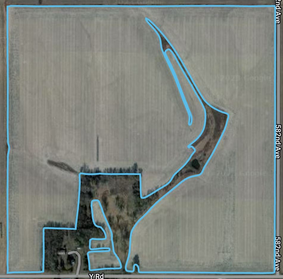
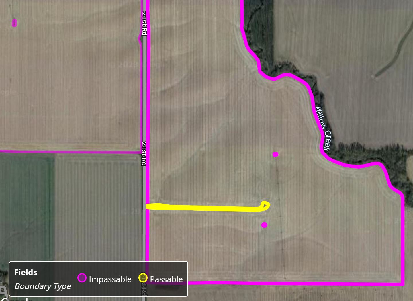
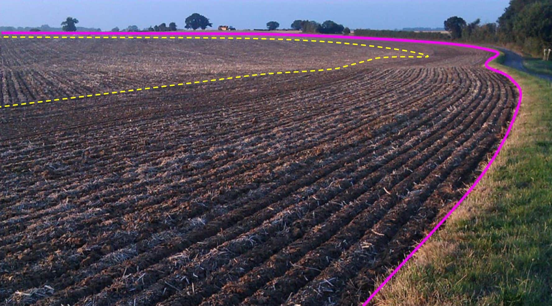
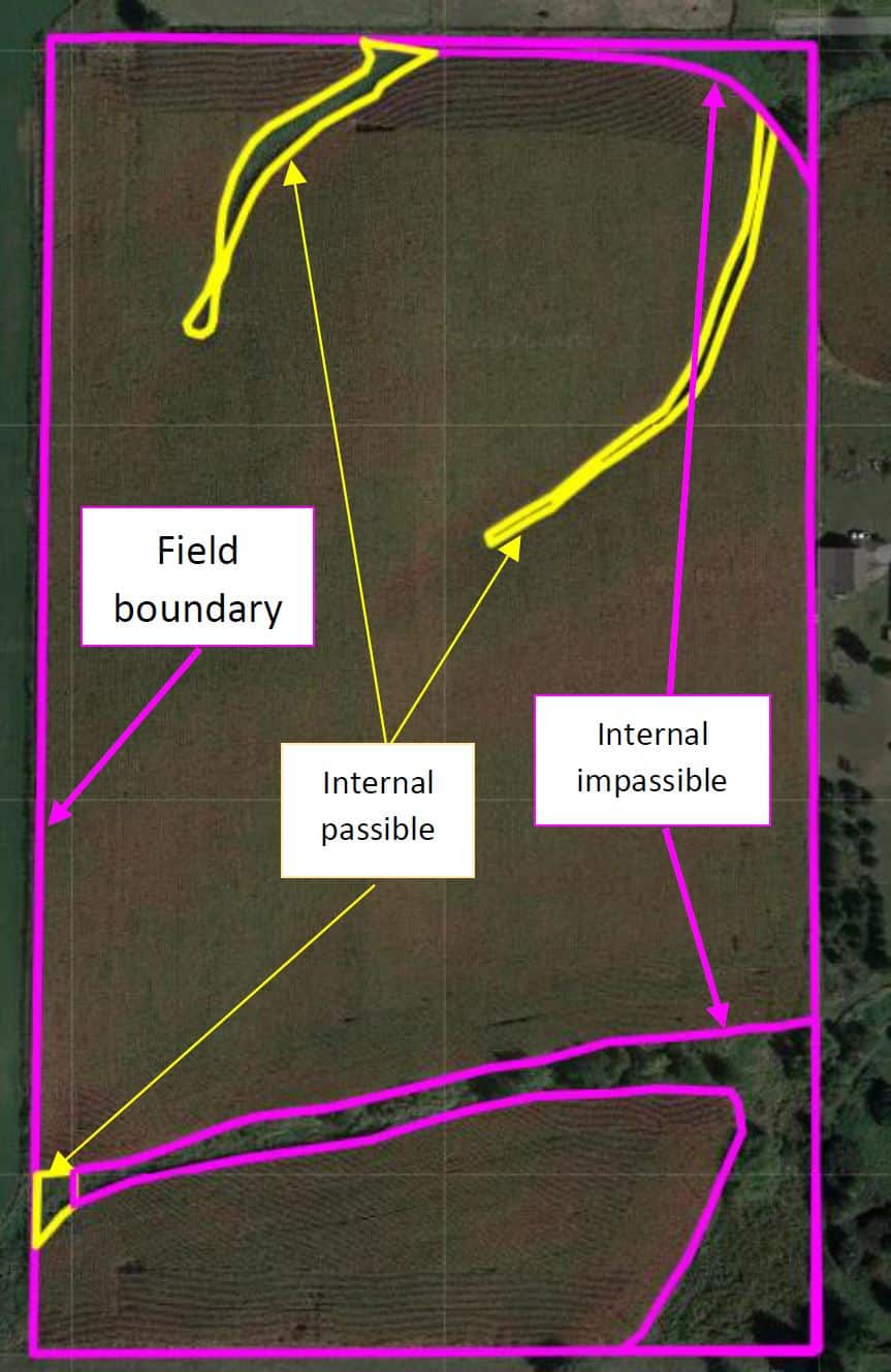
- Ability to define Interior Passable and Non-Passable Boundaries
- Execute John Deere's ExactApply Spraying Technology for efficient application


What are the benefits of accurate field boundaries?
- In the agricultural sector, they are crucial for precision farming. With precise field delineation, farmers can implement site-specific management practices, such as variable rate applications of fertilizers, pesticides, and water. This leads to optimized resource utilization, reduced costs, and increased crop yields.
- Allows for better monitoring and assessment of environmental impacts. Farmers can implement conservation practices more effectively, such as planting buffer zones along water bodies, reducing soil erosion, and preserving natural habitats within and around fields.
- Contribute to high-quality geographic information systems (GIS) and mapping applications. This data is valuable for a wide range of industries, including transportation, utilities, forestry, and land surveying.
- Facilitate remote sensing and aerial imagery analysis for monitoring land changes over time. This information is valuable for tracking land use dynamics, identifying encroachments, and assessing the impact of land management practices.
- Overall, accurate field boundaries play a vital role in various applications, from enhancing agricultural productivity to supporting urban planning and environmental conservation efforts. They provide a solid foundation for data-driven decision-making and efficient resource management.

